World Bank
Sierra Leone
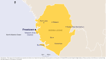
Sierra Leone is one of Africa’s smallest countries by size, with an urban population of 3.4 million. UrbanShift is engaged in Freetown and seven additional cities: Western Area District, Makeni, Koidu New Sembehun, Kenema, Bo, Port Loko and Bonthe.
The UrbanShift project in Sierra Leone is implemented by the World Bank in partnership with the Government of Sierra Leone, Freetown City Council, and other participating city administrations.
Located on the coast of West Africa, Sierra Leone contains a vast range of ecosystems, from lowland plains to savannahs and mangroves to rainforests. The Upper Guinean Rainforest stretches across the eastern part of the country and has been identified as a global biodiversity hotspot. Overall, a third of the country is covered by forests.
Historically, Sierra Leone’s economy has been driven by diamond and gold mining. Mining is still an important sector, though agriculture constitutes the majority of the country’s Gross Domestic Product (GDP).
Sierra Leone has experienced strong economic growth since the end of the civil war, averaging 5.5% from 2002 to 2019 and resulting in notable poverty reduction. However, macroeconomic factors coupled with exposure to climate-related hazards can potentially undermine the progress made to date.
- POPULATION
-
8 million
- ECONOMIC DRIVERS
-
Mining & Agriculture
- URBANIZATION
-
42%
THE CHALLENGE
In the post-civil war era, the government of Sierra Leone set the target of achieving middle-income status by 2035. Despite the gains that have been made in building a stable, competitive economy and improving living conditions for millions of citizens, poverty is still widespread across the country.
Sierra Leone faces a significant shortfall in basic infrastructure and service delivery, and with over 50% of the population expected to be living in urban areas by 2040, the need to address the infrastructure gap is urgent. In addition, existing socio-economic challenges have been exacerbated by the COVID-19 pandemic.
Climate change and deforestation also pose a grave risk to the urban fabric of Sierra Leone. Sea level rise, floods, landslides and drought have led to loss of lives and livelihoods, damage to public and private infrastructure, decreased agricultural production, and population displacement. Climate-related events also increase the likelihood of waterborne diseases, such as cholera, further impacting human health.
URBANSHIFT’S INTERVENTION
The World Bank and GEF-financed Resilient Urban Sierra Leone Project (RUSLP) aims to improve integrated urban management, service delivery and disaster emergency management in the Greater Freetown area and other urban centers, namely Western Area District, Makeni, Koidu New Sembehun, Kenema, Bo, Port Loko and Bonthe.
Reducing flood and landslide risk is a priority for RUSLP and will be achieved through comprehensive upgrading and mitigation measures, mixing grey infrastructure and nature-based solutions. These solutions will also generate co-benefits, such as job creation, enhanced biodiversity, and more robust ecosystem services. Additionally, the project will support activities aimed at strengthening early warning, emergency preparedness and response systems.
RUSLP will directly benefit 1.7 million people in Greater Freetown (which includes Freetown and the Western Area District) and the six additional cities. The project will be implemented from June 2021 - June 2026.
Examples of RUSLP interventions:
-
Upgrading the Urban Property Tax Administration and System
-
Provision of basic infrastructure to improve living conditions
-
Expanding tree and vegetation cover in targeted upper catchment and high slope areas
-
Comprehensive solid waste management with the appropriate infrastructure
FREETOWN
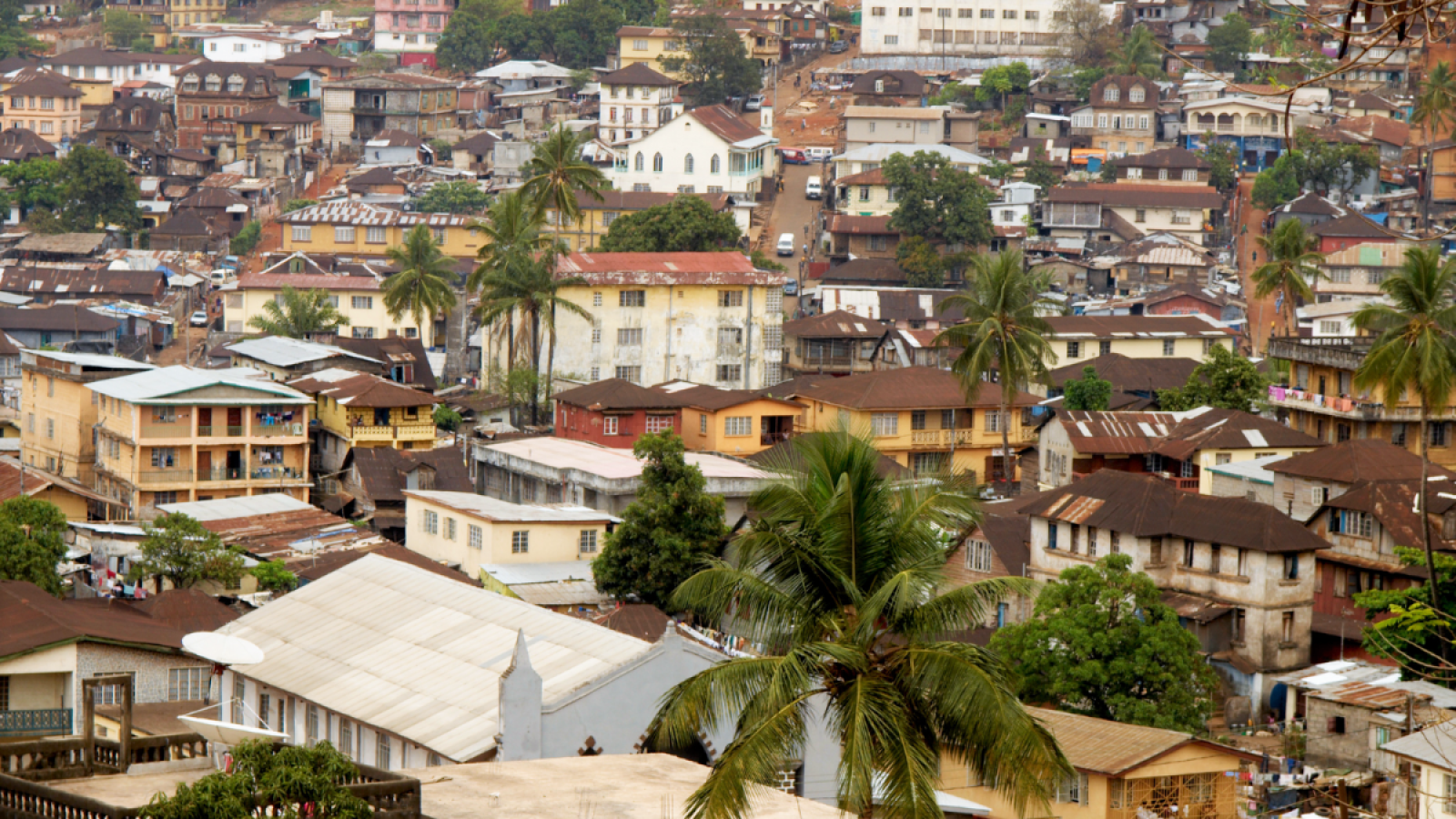
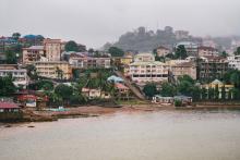
Freetown, the capital and largest city of Sierra Leone, is located on the Sierra Leone peninsula, along the Atlantic coast. With approximately 1 million inhabitants, the city is home to 12% of the total population.
As Sierra Leone’s primary commercial port, Freetown’s economy revolves around trade, mining and agriculture and accounts for over a third of the GDP. Owing to geographical factors as well as unplanned urban growth, over 30% of Freetown’s built-up area consists of informal settlements situated in low-lying areas that are prone to flooding and landslides.
Under the RUSLP, Freetown’s ongoing tree-planting initiative “Freetown the Treetown” will be upscaled to restore critical natural forest cover, building resilience to floods and landslides and protecting existing infrastructure.
WESTERN AREA DISTRICT
The Western Area District covers the southern part of the Sierra Leone peninsula. The district is home to 450,000 people and growing, with an expected increase of 40% by 2030. Encompassing lush hills and steep, mist-covered mountains, including a large national park, the district’s local economy is dependent on agriculture, fisheries and forestry.
MAKENI
The city of Makeni, with a population of roughly 130,000 inhabitants, is the largest urban center in Sierra Leon’s Northern Province. Makeni has established itself as a major educational hub and houses one of the country’s largest private universities and secondary institutions.
RUSLP will implement a comprehensive upgrade of central markets in Makeni, with a focus on improving working conditions for traders and stimulating the local economy.
KOIDU NEW SEMBEHUN
Koidu New Sembehun is located in the Eastern Province in the Kono District Home to approximately 130,000 people, the city’s economy is built on rice, palm oil and livestock, as well as diamond mining.
KENEMA
Kenema is the third-largest city in Sierra Leone and the largest in the Eastern Province, with a population of roughly 206,000. Agriculture, diamond mining and trade form the mainstay of Kenema’s economy. In recent years, Kenema has been experiencing more frequent and intense floods, due in part to climate change as well as deforestation caused by rapid urban growth.
Similar to the intervention in Makeni, RUSLP will work to upgrade Kenema’s central market with the objective of spurring local financial activity and resulting in increased revenue for the city council.
BO
Bo, the second-largest city in Sierra Leone, is home to 179,000 people. Located in the Southern Province at the intersection of the roads leading to Freetown and Makeni, Bo is considered the educational and commercial center of interior Sierra Leone. The city’s main economic pillars include trade, gold and diamond mining and the production of cacao, coffee, and palm oil.
RUSLP will aim to improve the solid waste management system in Bo city.
PORT LOKO
Situated in Sierra Leone’s Northern Province, Port Loko has a population of 44,000. The main source of livelihood for Port Loko residents is agriculture and the trade of rice, cassava, and sweet potato. Small-scale mining of bauxite and iron ore is also a key economic activity in and around the city. Rapid urbanization and the demand for charcoal has been responsible for driving deforestation in Port Loko.
BONTHE
Bonthe is a relatively small port city in southwestern Sierra Leone, located on the shore of Sherbo Island. It has a population of 10,000, which is expected to increase by 50% by 2030. Bonthe’s economy is dominated by the production and trade of palm kernels, coffee, ginger and rice. The loss of mangrove forests, once found in abundance in the creeks and estuaries of Sherbo Island, has had disastrous consequences on the communities in and around Bonthe, leaving them vulnerable to the destruction caused by sea-level rise and frequent, severe storms.
PROJECT BUDGET
- GEF Grant: $6.7 million
- Co-financing: $50 million
Regional Coordinator
Jessy Appavoo coordinates UrbanShift's capacity-building offer in Sierra Leone.
Related Content
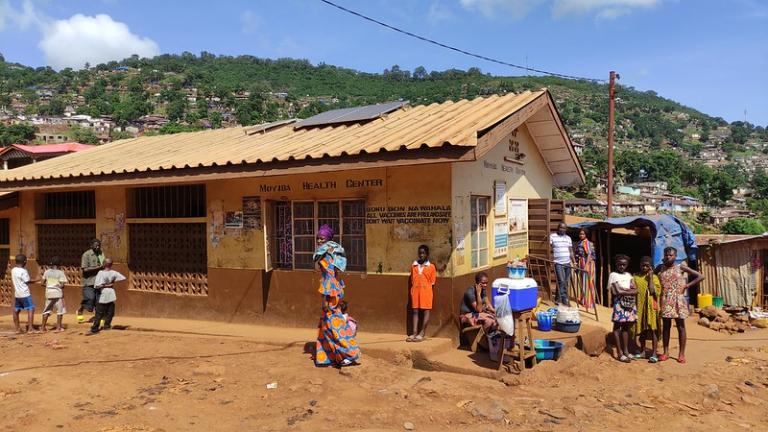
Building an Equitable, Climate-Resilient Future in Freetown
From an inspiring study tour on urban cable cars to insight-filled trainings on climate action planning and finance, UrbanShift has supported Freetown—and all of Sierra Leone—to accelerate its climate goals.
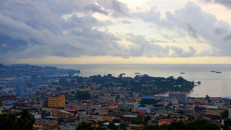
UrbanShift Workshop on Planning, Informality and Waste Management
The workshop focused on strategising actions to support the realisation of existing sustainable urban development and waste management plans.
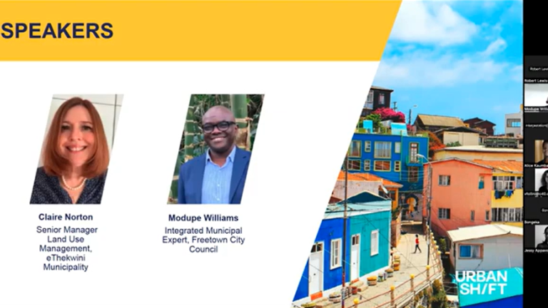
Unlocking Africa's Urban Potential: Improving Informal Settlements through Sustainable Planning
As Africa experiences rapid urban growth, this webinar will shed light on best practices for managing informal settlements and expanding sustainably.
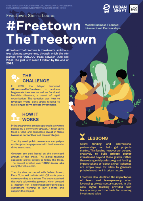
Freetown, Sierra Leone: The Tree Town Campaign Private Sector Engagement
Model: Business-Focused International Partnerships
