Eric Mackres
Data
The UrbanShift data team works closely with beneficiary cities to identify, provide and analyze geospatial layers and key sustainability indicators, serving to highlight critical urban challenges and suggest integrated solutions backed by data. Browse our data products below.
DATA HUB
The Data Hub provides cities with a common set of critical geospatial layers related to urban biodiversity, land degradation and GHG emissions. Derived from globally scalable and transferable methods (remote sensing, machine leaning, and crowdsourced data), the goal of these layers is to supplement locally available data as well as offer a comparative analytical paradigm for UrbanShift cities. Where possible, the data stacks are published under a public and open-source license, enabling use and reuse by city governments and other stakeholders. Visit the Data Hub.
INDICATORS DASHBOARD
To help understand the status of sustainability indicators in UrbanShift cities, such as access to green space and climate mitigation, and identify existing and potential challenges, we measure key baseline indicators using comparable approaches. The objective of these indicators is to assess the status and trends of change within each city, providing information to distinguish patterns within and between cities and assist in detecting problems and defining solutions. Visit the CityMetrics dashboard to begin your analysis.
To learn more about the approach behind UrbanShift's data offer, consult the Geospatial Analysis Methodology Framework booklet.
DATA TEAM
Meet the data scientists behind UrbanShift's cutting-edge geospatial analysis products.
LEARN MORE

Strategic City Planning with Nature: Assessing Urban Biodiversity in San José, Costa Rica
UrbanShift’s geospatial analysis for the San José metropolitan region will support urban actors to incorporate biodiversity into planning mechanisms and transform decision-making processes toward valuing the benefits of nature.

Biodiversity in UrbanShift Cities
These online reports, with interactive maps and figures, provide indicators to measure the state of biodiversity in UrbanShit cities based on comparable global datasets.

Supporting Integrated Urban Growth in Freetown
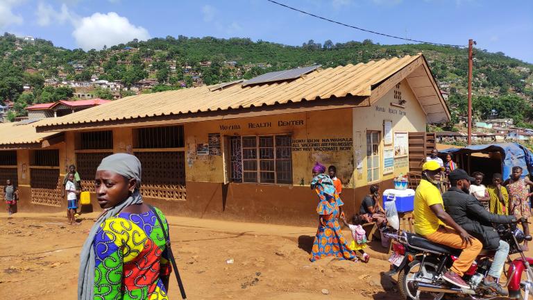
The UrbanShift Lab in Freetown brought together representatives from the capital and neighboring cities to assess and find sustainable solutions for managing urban growth and climate risks in Sierra Leone.

San José Strategic Planning Lab
The first UrbanShift Lab brought together 48 participants representing 23 institutions from the San José Metropolitan Area, Costa Rica, offering a hands-on workshop on urban regeneration.


