Toolkit
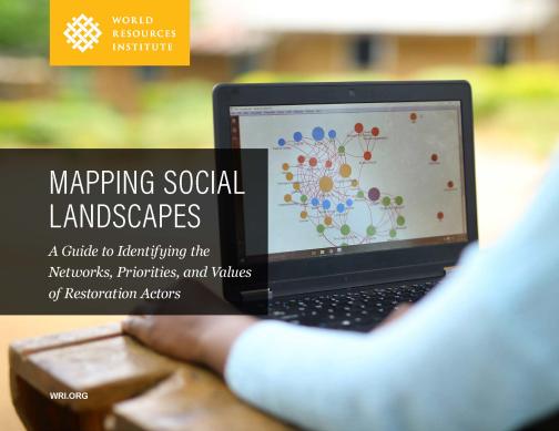
Mapping Social Landscapes
A Guide to Identifying the Networks, Priorities, and Values of Restoration Actors
This guidebook helps planners understand the priorities, values, and resource use patterns of people within a landscape to improve landscape restoration efforts.
Biophysical opportunities mapping is a well-established technique used in forest and landscape restoration. However, there is also a need to map social opportunities and better understand social landscapes.
This guide provides a methodology for urban leaders to understand landscape governance by mapping the resource flows, priorities, and values of people living and working within a city or specified area. The approach goes beyond the biophysical aspects of a landscape, seeking to understand how people impact restoration and resources. The guidebook focuses primarily on restoration, but the same methodologies can be adapted to broader analysis of natural resource governance. This resource was produced by WRI and is also available in Portuguese and French.
Learn more
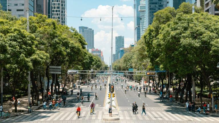
Meet CityMetrics: An Open-Source, Interactive Tool for Analyzing Urban Risks and Opportunities
With CityMetrics, a new geospatial data platform developed by WRI, over 60 cities--including all 23 UrbanShift cities--can access in-depth data on urban risks and vulnerabilities.
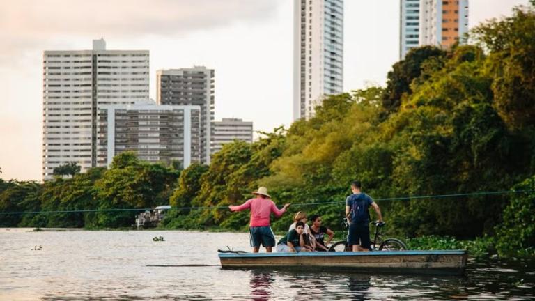
Resilient Infrastructure in Brazil's Cities Grows from the Roots
How cities from Recife to Belém are pursuing innovative green strategies with the support of the Global Environment Facility.
Climate Resilient Cities: Assessing Differential Vulnerability to Climate Hazards in Urban India
The report highlights the need to integrate equity into climate action planning in Indian cities. It examines how socioeconomic inequality and marginalization shape climate risks.
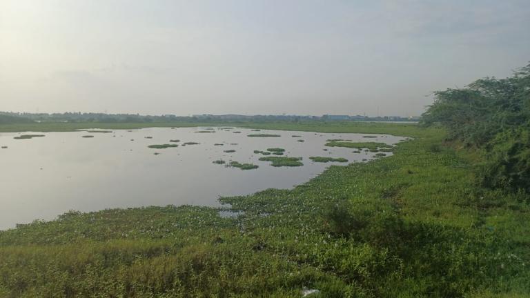
How Chennai is restoring Kadapakkam Lake with nature-based solutions
An UrbanShift spotlight on integrated water management, climate adaptation, and local innovation
