Lab
URBANSHIFT MARRAKECH LAB: USING GEOSPATIAL ANALYSIS AND INDICATORS TO PRIORITIZE GREENSPACE EXPANSION AND ENHANCE URBAN BIODIVERSITY
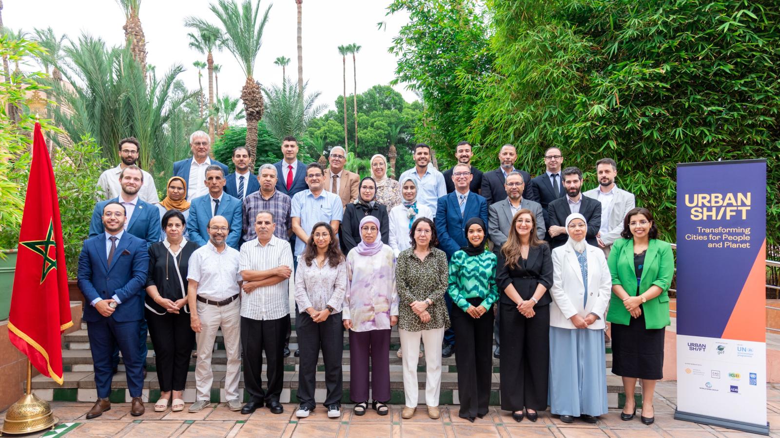
This workshop convened representatives from the cities of Marrakech, Agadir, Beni Mellal, Rabat and Tangier, the national government and other stakeholders to prioritize greenspace expansion and biodiversity conservation in Marrakech.
The UrbanShift Marrakech Lab was a two-day workshop organized by the World Resources Institute, in partnership with C40 Cities, the Ministry of Energy Transition and Sustainable Development of the Kingdom of Morocco, the United Nations Development Programme in Morocco, and the Municipality of Marrakech, with technical support provided by experts from the Urban Agency of Marrakech and researchers from Cadi Ayyad University.
The workshop brought together local actors from the city of Marrakech, and representatives from other Moroccan cities (Agadir, Beni Mellal, Rabat, and Tangier) to discuss urban green space planning, heat mitigation and biodiversity conservation in Marrakech through the use of data and geospatial analysis techniques.
The objective of the Marrakech Lab was to support the land restoration and urban biodiversity components of the “Marrakech Ville Durable” (Marrakech Sustainable City) project, funded by the Global Environment Facility. The focus of the lab was two-fold: (1) assessment of a suite of geospatial data and variables that influence greenspace availability and access and prioritize opportunities for greenspace expansion in the city to mitigate urban heat and improve equitable access, and (2) use of geospatial data and indicators to assess, monitor and improve urban biodiversity in the city.
The Marrakech Ville Durable project has a mandate to restore land and enhance urban biodiversity. The Marrakech Lab supported this objective by addressing the following questions:
- Where should greenspace and parks be prioritized to maximize access for vulnerable populations?
- Where will urban greenspace help to mitigate current heat risks the most?
- What are the opportunities to enhance urban biodiversity?
- Which tools and indicators can the city use to monitor and assess biodiversity improvements over time?
Below you can find the agenda, presentations, exercises, data and photographs from the workshop.
LEARN MORE
Marrakech City Academy
In February 2024, this City Academy will focus on Urban Biodiversity and Accessing Urban Climate Finance.
UrbanShift at CBD COP16: From Setbacks to Solutions—How Cities Lead on Biodiversity
Drawing from the experiences of GEF cities, including under UrbanShift, and GenerationRestoration cities, this event focused on how cities are taking transformative action to address their challenges and navigating around roadblocks to change.
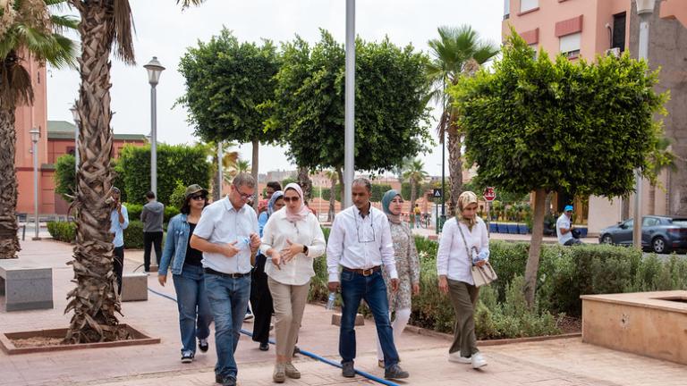
After a devastating earthquake, Marrakech plans to build back with resilience
Reflecting on how, with UrbanShift's support, the city of Marrakech is making strides to enhance its urban nature and lower emissions.
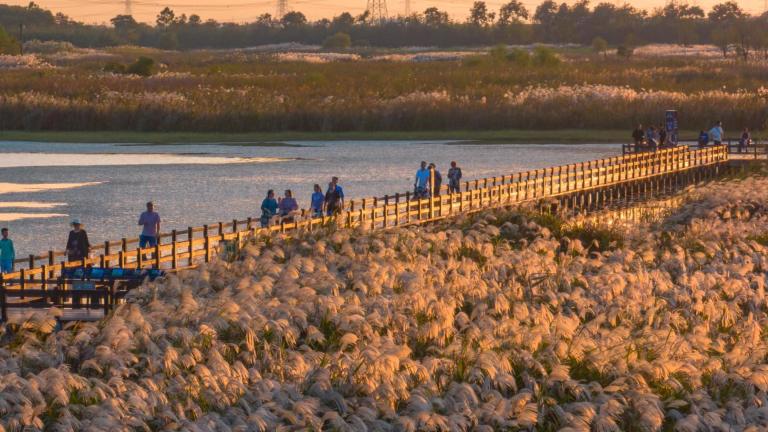
How Ningbo is Paving the Way for Sustainable Development and Tourism
With the revitalization of Hangzhou Bay Wetland Park, Ningbo is proving the value of biodiversity-focused urban development.
